PSEP

Pipeline Safety Enhancement Plan (PSEP)

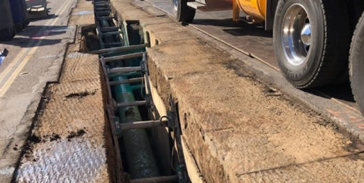
PSEP was established to promote the continued safety and integrity of natural gas transmission pipelines by replacing or hydro-testing over 200 miles of high-pressure gas pipeline and replacing and/or upgrading approximately 400 mainline gas valves. GIS Surveyors Inc. (GSi) was the main contractor for the San Diego region projects providing base mapping, utility

Fire Risk Mitigation (FiRM) Program

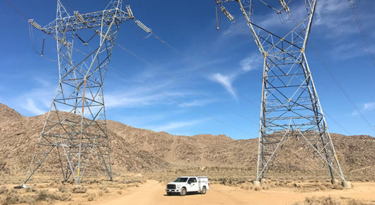
As part of the utilities commitment to providing safe and reliable energy, SDG&E’s FiRM Program was initiated in 2013 to replace aging infrastructure most at risk for wildfires. GIS Surveyors Inc. (GSi), has united the complimentary platforms of Land Surveying and GIS to provide on-going geospatial support to the FiRM initiative. Our team…

System Wide LiDAR Mapping Project

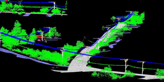
GIS Surveyors Inc. (GSi) was awarded a follow-on project with SDG&E to manage the LiDAR system wide mapping collection and QA/QC for over 8,800 miles of their infrastructure. The project consists of the acquisition, processing and delivery of raw and processed LiDAR files, identification and classification of specified features, orthophotography and oblique photos.…

Electric Program Investment Charge (EPIC)

The Electric Program Investment Charge (EPIC) is a California Public Utilities Commission (CPUC) funded research and development program designed to bring benefits to electricity ratepayers in the Southern California region. GIS Surveyors Inc. (GSi) provided subject matter and process development expertise for an applied research and development project that concerns the use, visualization…